
The coronation of King Charles III: 5 Essential reads on the big royal bash – and what it all means
- Written by Matt Williams, Senior Breaking News and International Editor
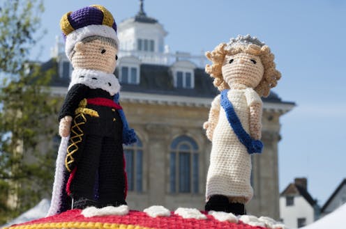 A yarn of pomp and pageantryPlanet One Images/UCG/Universal Images Group via Getty Images
The United Kingdom is about to embark on an orgy of flag-waving pomp and pageantry in celebration of King Charles III’s coronation.
Charles is already the ruling monarch, having ascended to the throne following the death of his mother Queen Elizabeth II in...