

A Halloween party in Boston turned ugly when a gang hurled antisemitic slurs and attacked Jewish teenagers
- Written by Andrew Sperling, PhD Student in History, American University
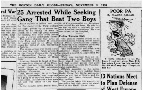 The Boston Globe detailed the Hecht House attacks in its Nov. 3, 1950, edition.Boston Globe
On a chilly Halloween night in late October 1950, dozens of Jewish teenagers and their friends gathered for merriment in the Boston neighborhood of Dorchester at the Hecht House, a Jewish community center that provided job training and hosted social events....